Remote Sensing of Mangrove Canopy Dynamics in Puerto Rico
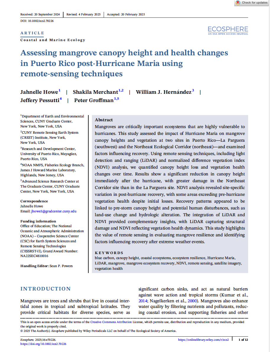
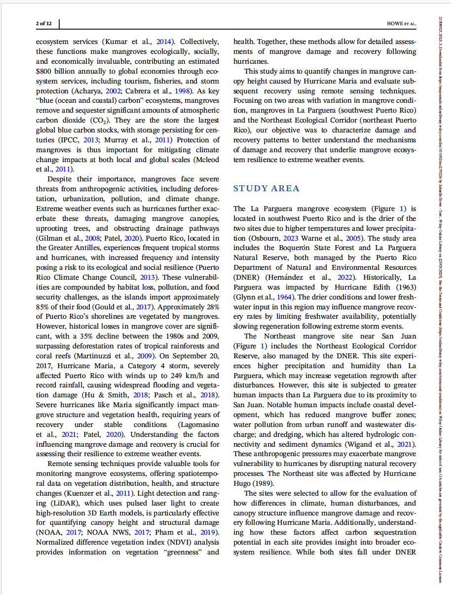
In this study, Howe et al. (2025) examined the impact of Hurricane Maria on mangrove ecosystems in Puerto Rico by leveraging advanced remote sensing techniques. Using LiDAR to map canopy structure and NDVI to track vegetation health, the team conducted a comparative analysis across two sites: La Parguera (southwest) and the Northeast Ecological Corridor.
Key takeaways:
Structural Damage: Canopy height significantly declined post-Maria, particularly in the Northeast Corridor compared to La Parguera.
Variable Recovery: In some areas, vegetation greenness (NDVI) fully recovered—and even surpassed—pre-storm levels, suggesting resilience in select zones.
Drivers of Recovery: Differences in recovery patterns were linked to pre-storm canopy conditions and levels of human disturbance, such as land-use change and hydrologic alterations.
Method Complementarity: LiDAR offered a detailed view of physical damage, while NDVI provided insights into the health of vegetation over time.
Significance: This research showcases how combining LiDAR and NDVI provides a comprehensive assessment of mangrove resilience following extreme weather. It underscores the value of remote sensing in evaluating ecosystem recovery and informing climate resilience strategies in vulnerable coastal zones.
Free access to the research artcile: https://esajournals.onlinelibrary.wiley.com/doi/10.1002/ecs2.70226

